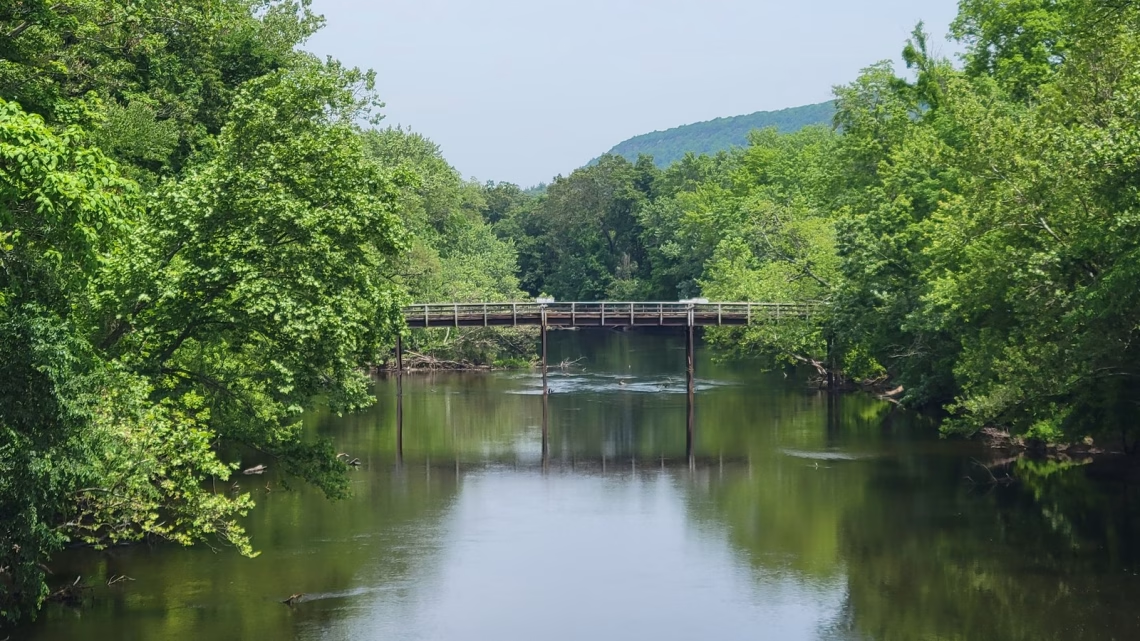
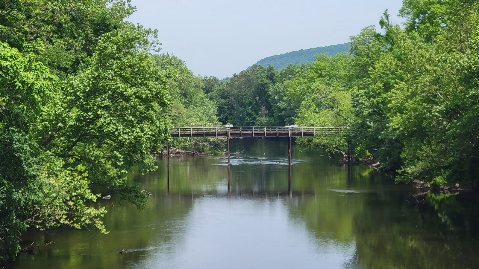
Farmington River · Riverton, CT
Three sections, two gauges. Live flow and water temperature from the USGS gauge, against USGS’s normal for the date. Real numbers or none.
Right now · Riverton, Section 1
West Branch Farmington River at Riverton, CT
148 cfs · 58°F · normal for Oct 23 · gauge read 11:30 PM, Oct 22 ET
Farmington River at Unionville, where Section 3 ends: Normal for Oct 23: about 339 cfs, the median of 49 years. Right now: normal.
The water
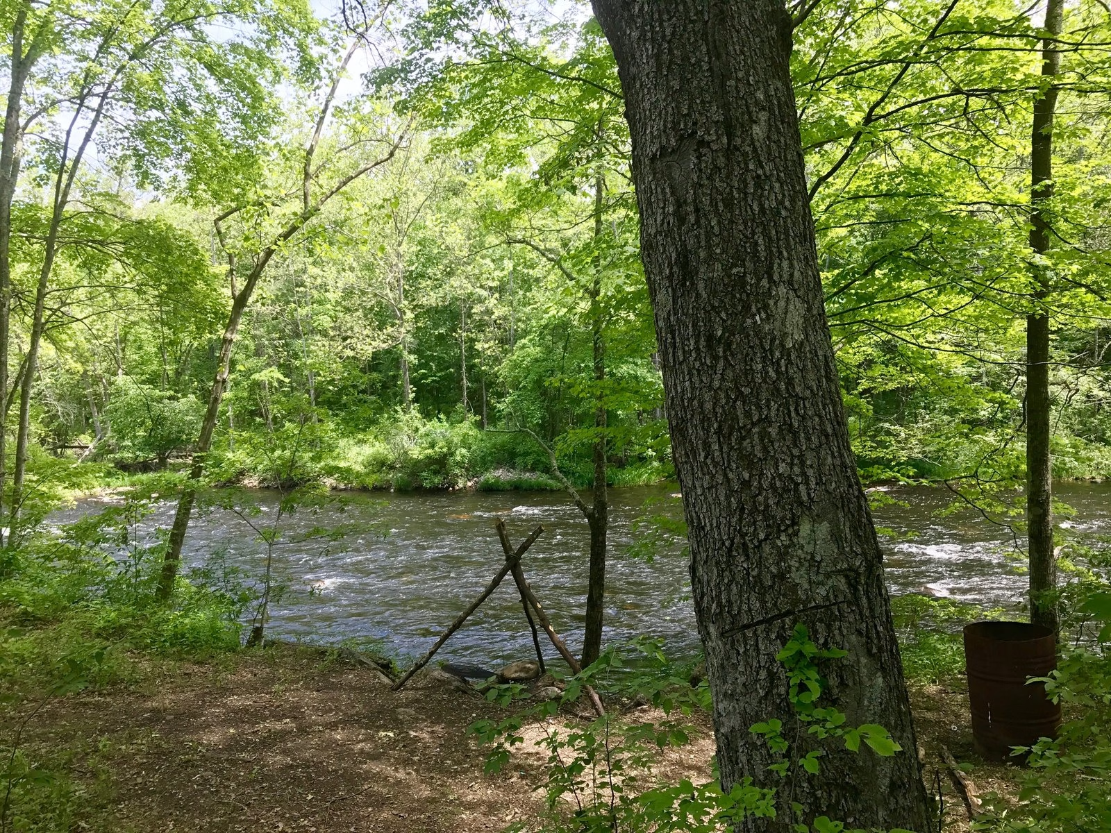
The Farmington’s trout management area starts at the Goodwin and Hogback dams in Hartland and runs in three sections down to the Route 177 bridge in Unionville.
The card reads the USGS gauge on the West Branch at Riverton, in Section 1, which drains 131 square miles above it. The second line reads the gauge at Unionville, where Section 3 ends, which drains 378 square miles and has no temperature sensor. A gauge reads one spot, so take the number as the river’s mood, not the depth at your boots.
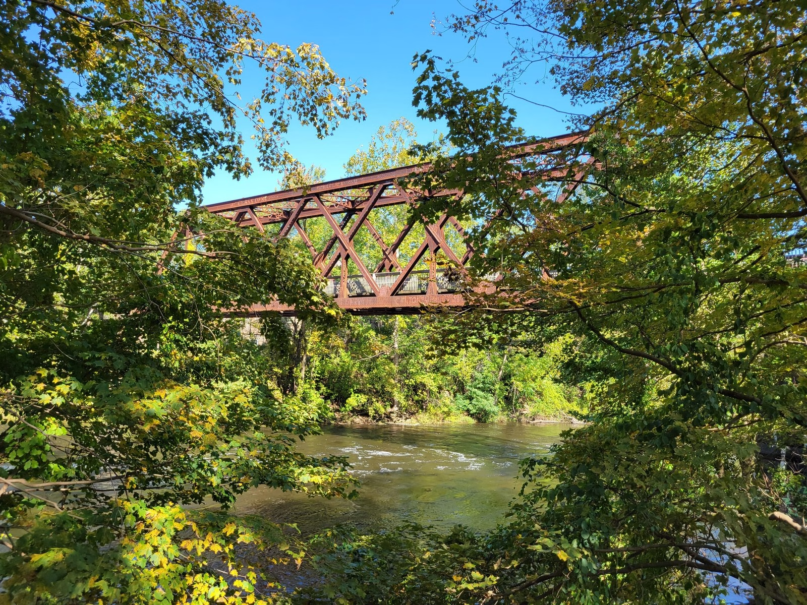
Normal is USGS’s own call: the middle half of the daily flows on record for this date, across every year the gauge has run. You know your water better than a chart does.
CT DEEP’s Farmington River flow plan (PDF) says that in extreme rain, sudden large increases in flow may be needed to protect people and property downstream.
Rules on this water
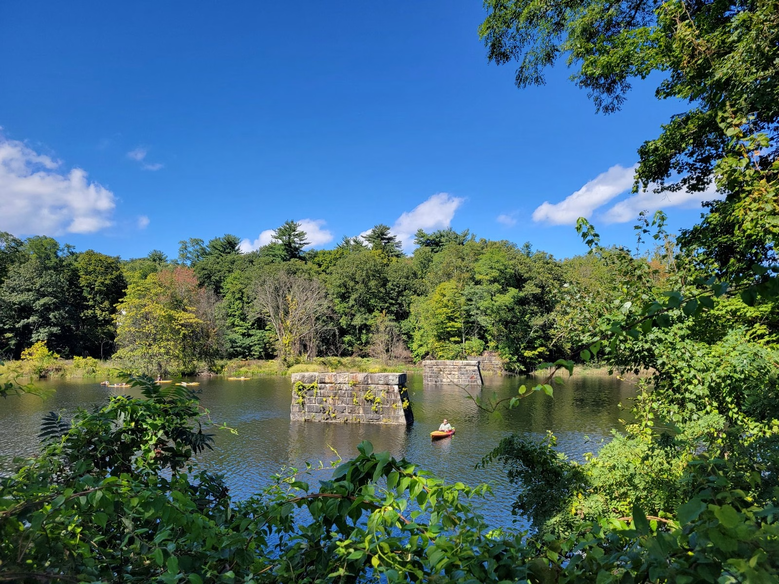
- Section 1, from the dams. From 6 a.m. on the second Saturday in April to August 31, 2 trout a day, 12 inches or more. From September 1 to that April Saturday, catch and release only.
- Section 2, Barkhamsted to Route 219. Catch and release all year, barbless hooks only.
- Section 3, Route 219 to Unionville. The same seasons and limits as Section 1.
- Trout and salmon stamp. Needed to fish any of the three sections.
Seasons, sizes, and limits are CT DEEP’s call, and they change. Check DEEP’s river and stream regulations, which set the sizes, and its trout management areas before you go.
 Throw five on it


