
Upper Delaware · Hancock, NY
Two branches in, one big river out. Live flow and water temperature on the Delaware at Lordville, downstream of Hancock, against USGS’s normal for the date. Real numbers or none.
Right now · the main stem below Hancock
Delaware River at Lordville, NY
937 cfs · 50°F · much below normal for Oct 23 · gauge read 11:45 PM, Oct 22 ET
West Branch at Hale Eddy, above Hancock Normal for Oct 23: about 528 cfs, the median of 63 years. Right now: normal.
The water
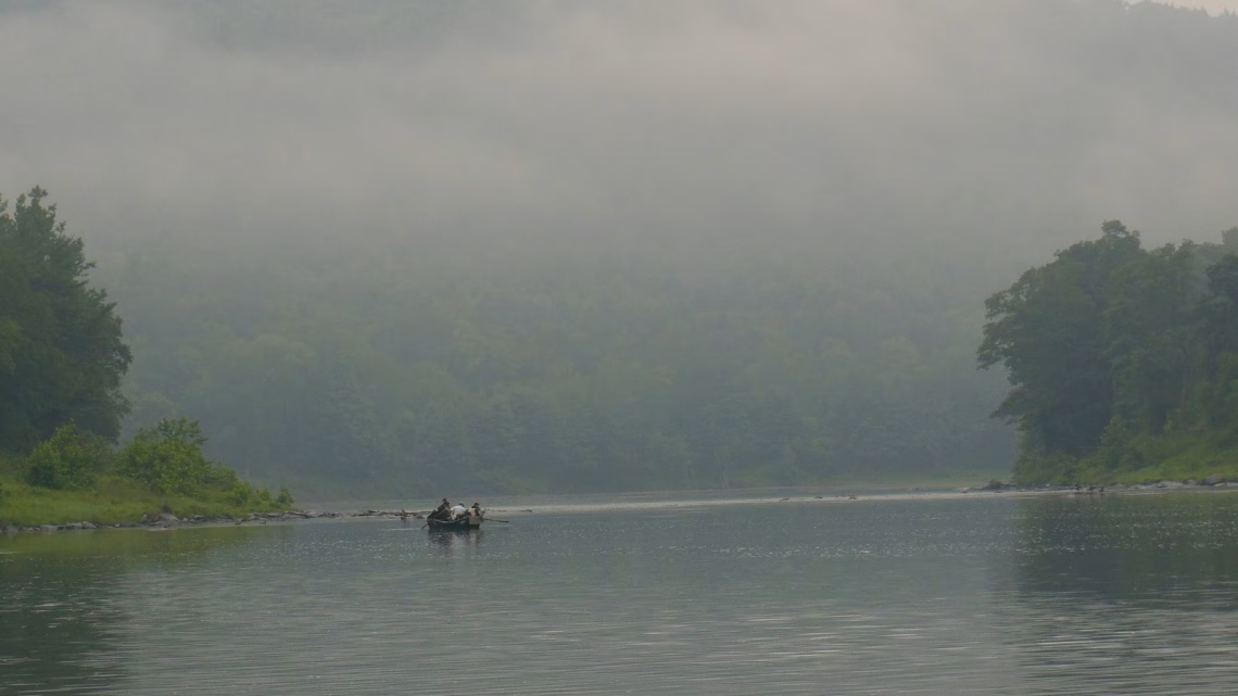
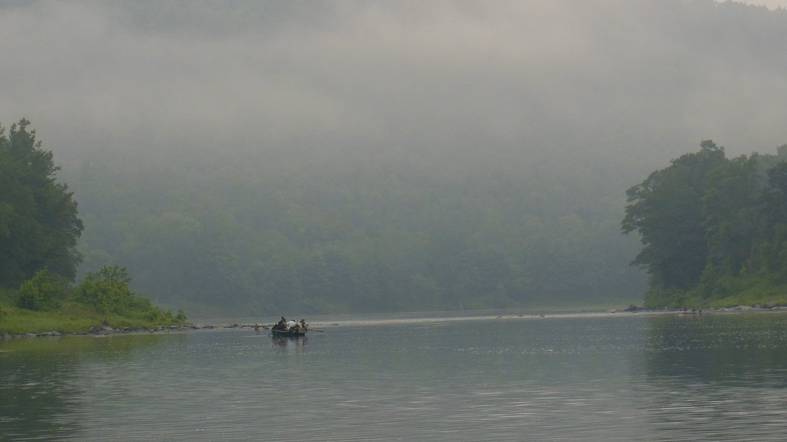
Two rivers meet at Hancock: the West Branch and the East Branch of the Delaware. From there down it’s the Delaware River itself, the main stem. New York is on one bank and Pennsylvania is on the other, so it’s border water. It’s trout water, too.
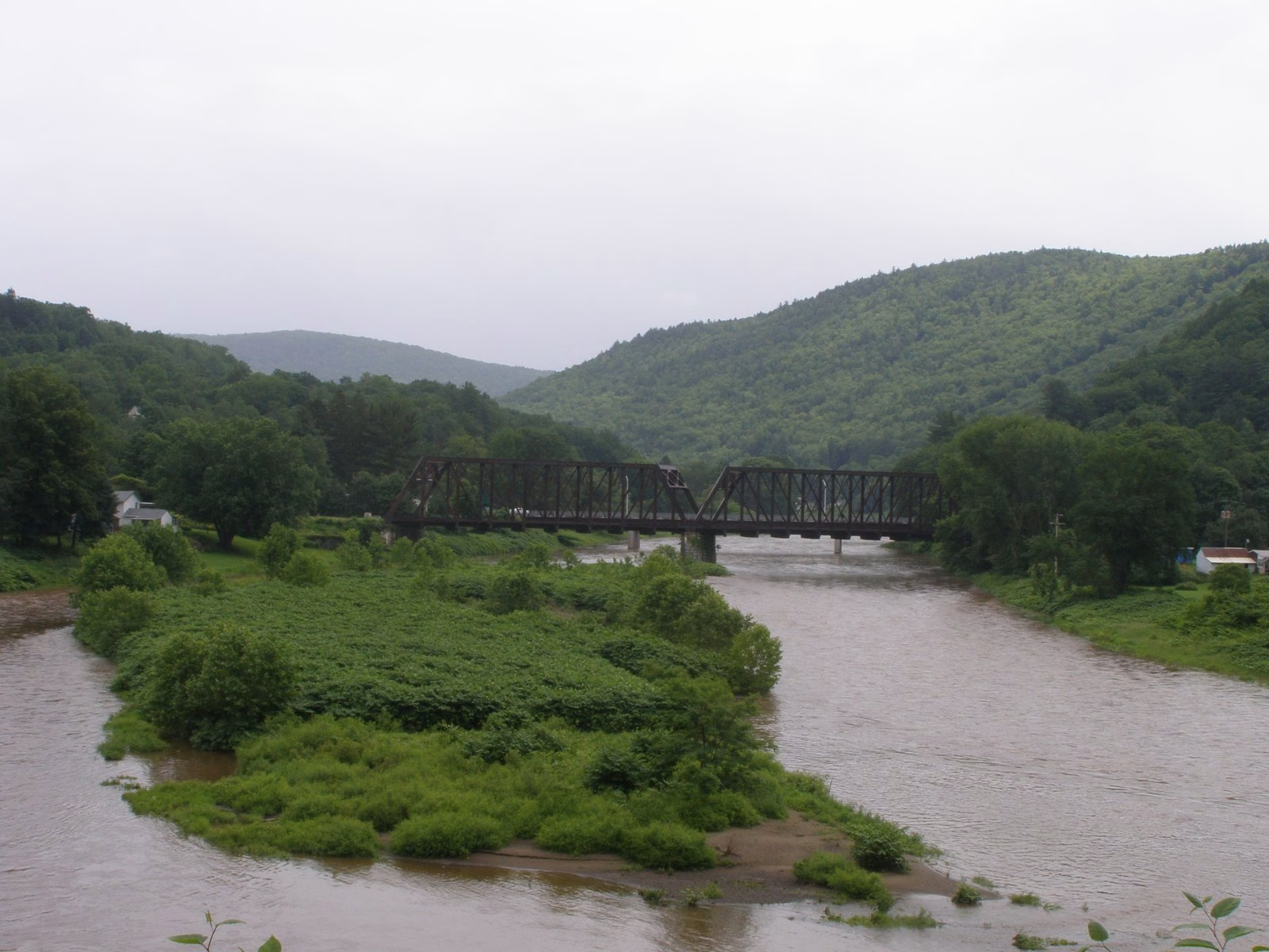
The card up top reads the USGS gauge at Lordville, on the main stem below Hancock. The West Branch line reads the gauge at Hale Eddy, up the West Branch above Hancock, and the West Branch has its own West Branch Delaware page too. A gauge reads one spot, so take the number as the river’s mood, not the depth at your boots.
Just the real numbers and how they stack up against normal. Normal is USGS’s own call: the middle half of the daily flows on record for this date, across every year the gauge has run. You know your water better than a chart does.
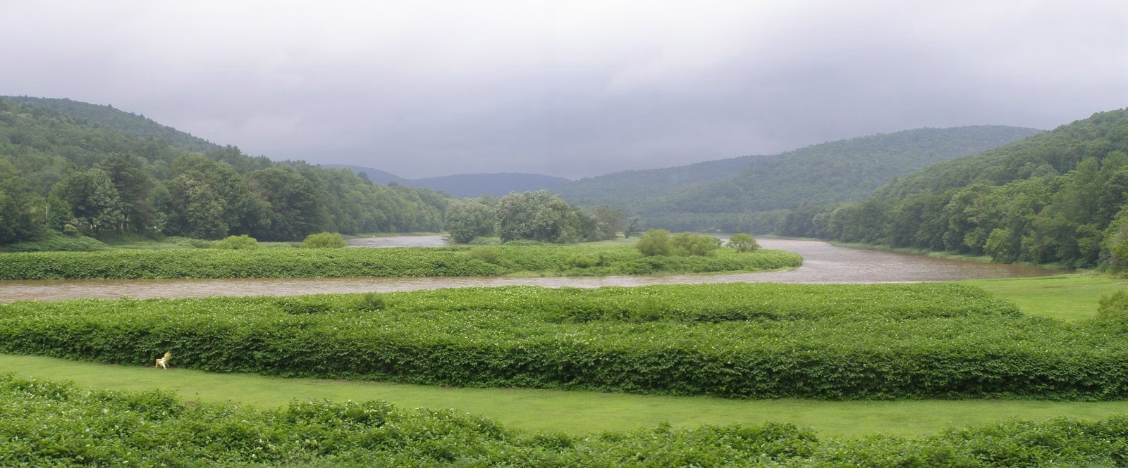
And don’t treat this page like an alarm. It shows the last reading in, not what’s coming down the river.
The National Park Service says to check conditions before you go and to be mindful of upstream releases and changes in water depth and speed. See its river safety page.
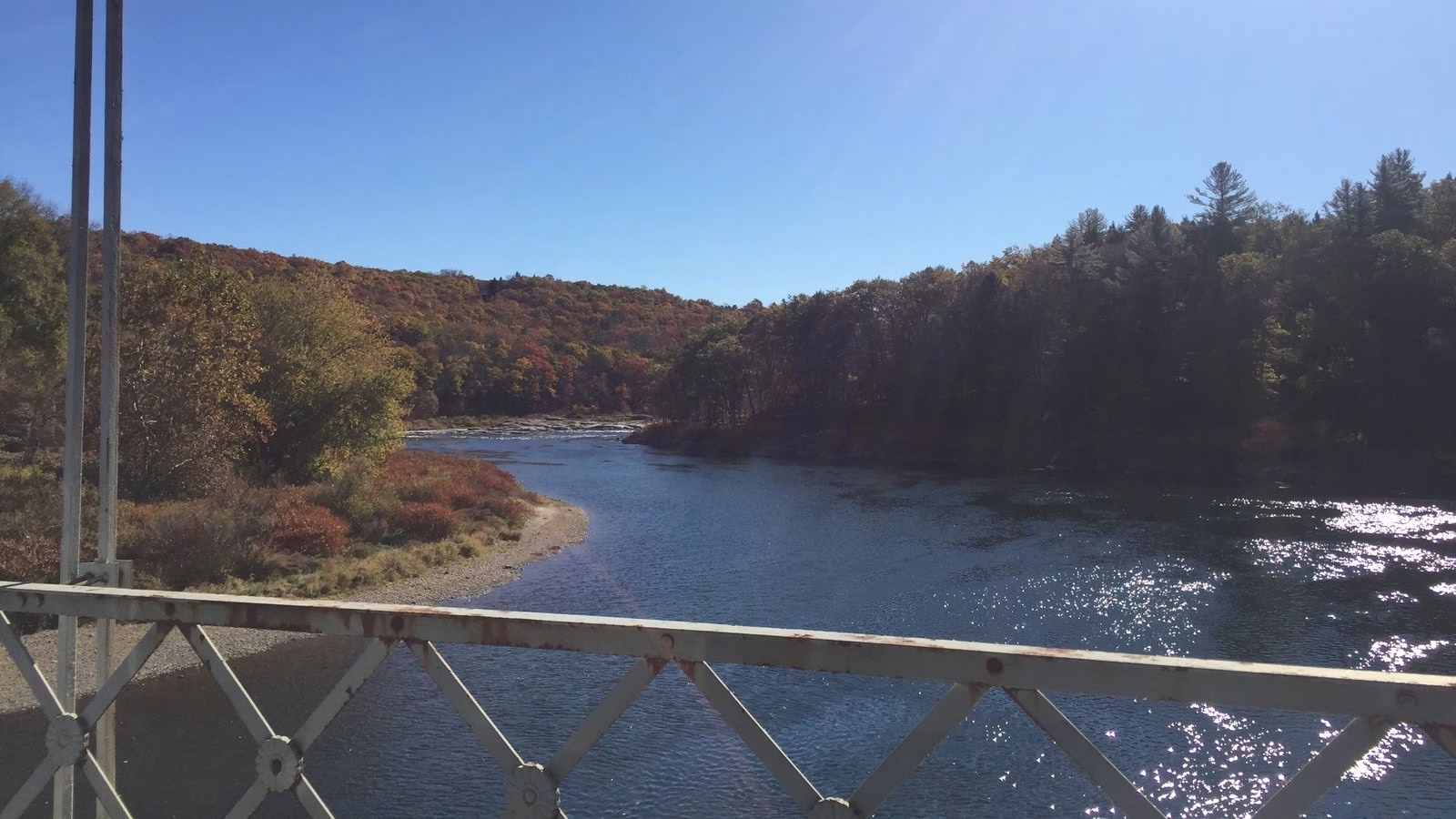
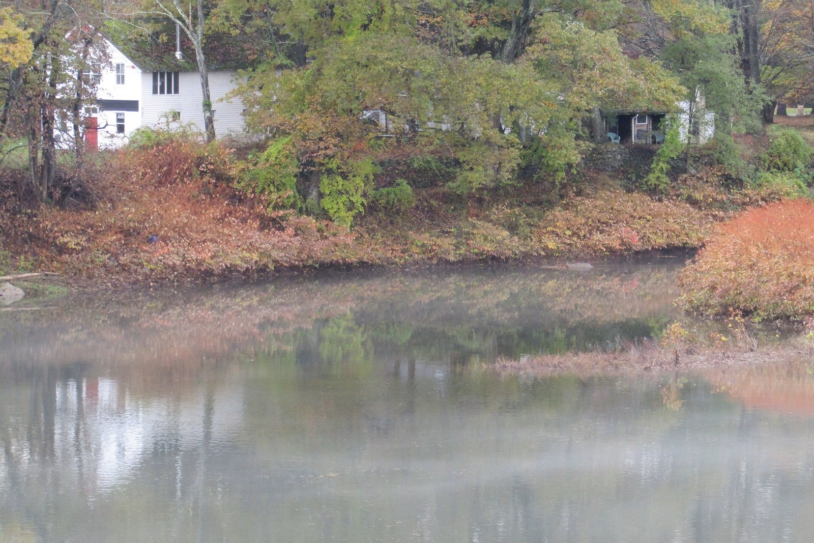
The cabin near Hancock
My stepmother used to have a fishing cabin on the Upper Delaware, near Hancock. We fished there many times, and that’s where the beaver encounter with Grim actually happened.
Skunk Bell
Back from the water? Ring it honest. Landed or skunked, one ring a day. Nobody is keeping score but the bell, and the bell only counts the year.
2026 so far: 5 landed · 1 skunked
Rung. Same bell tomorrow.
You rang today. Tomorrow is another cast.
Seasons, sizes, and limits on this water are DEC’s call, not mine, and they change. It’s border water, so check DEC’s border water rules and the inland trout stream rules before you go.
 Throw five on it


